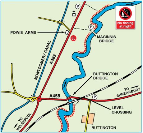
Buttington Bridge
Severn
Description
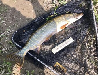
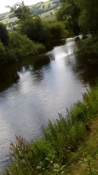
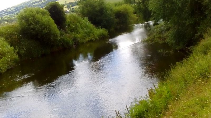
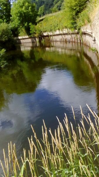
Typical "Upper" Severn with deep and shallow water. Good game and coarse fishing on fly or bait. Plenty of salmon taken each year above Buttington Bridge. Good pike fishing in the deeper holes.Location (SATNAV)
Approaches
Buttington Bridge: At Welshpool take A483, turning right on A458 (Shrewsbury) road at Buttington Bridge. Parking is on the roadside or behind level crossing further along the same road. Follow footpaths to river.
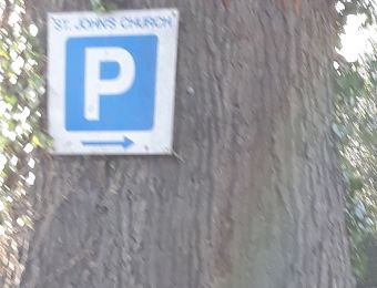
Powis Arms: As for Buttington but continue on A483 to Powis Arms where there is a track (dotted line on map) to the BAA car park adjacent to Maginnis Bridge. There is another access at the church 400 yards further up the road and another track (dotted lines again) to the water.
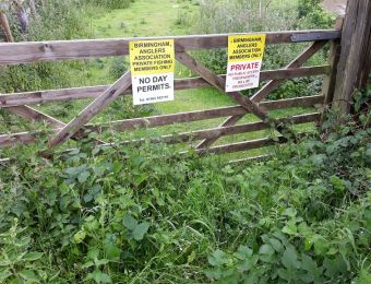
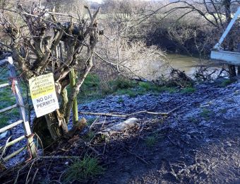
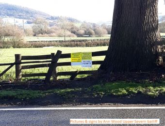
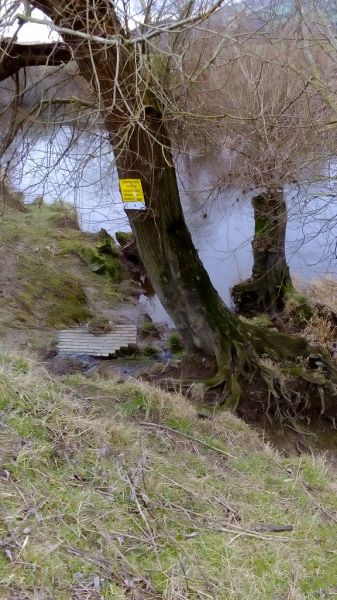
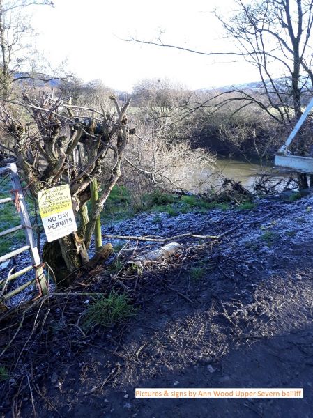
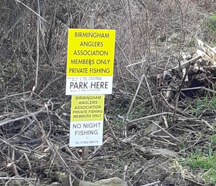
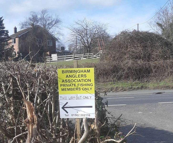
NO FISHING AT NIGHT
From Saturday 28th September 2019, an Emergency Byelaw to protect vulnerable salmon stocks on the River Severn in Wales has been introduced by Natural Resources Wales. Salmon catch and release only is allowed on the Welsh Severn.
BAA Publication Map
Google Map
Image Gallery
-
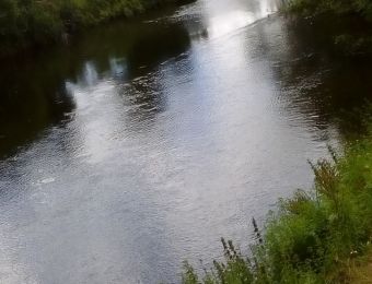
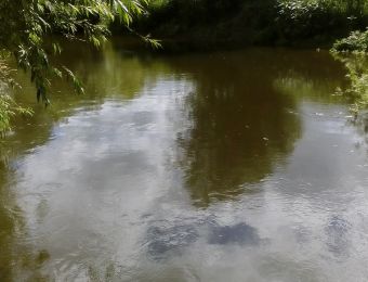
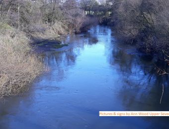
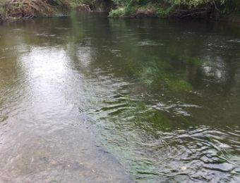
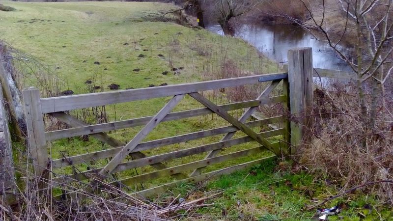
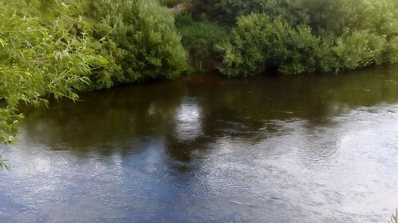
Buttington Bridge 01
Layby just before river bend on A483 (see website/guide book map). It's approx 150 meters from the layby to the gate and 40 metres from gateway to first peg where there is a BAA sign on a tree
-
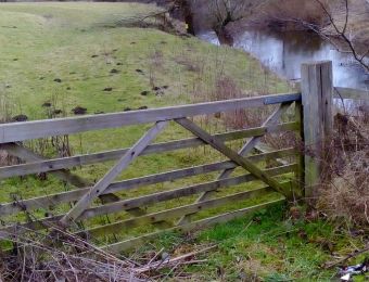
Buttington Bridge 02
Gateway approx 150 meters from layby.
-
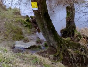
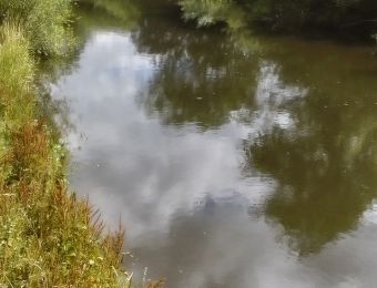
Buttington Bridge 03
First peg approx 40 metres from gateway.
-
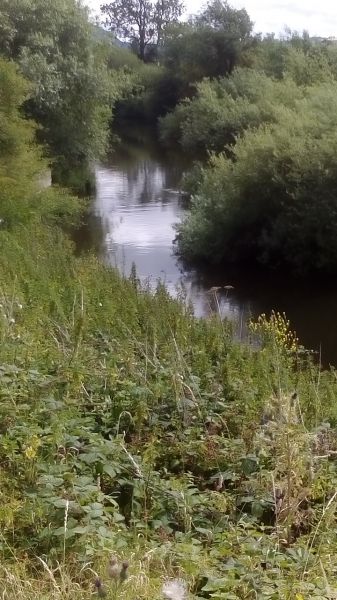
Buttington Bridge 04
Looking upstream on the bend at Buttington. All pics sent by Mike local bailiff.
-
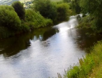
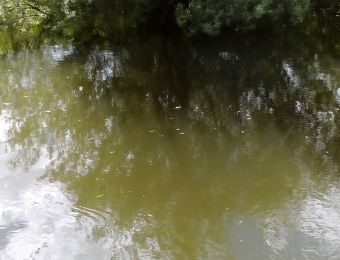
Buttington Bridge 05
Looking further upstream
-
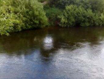
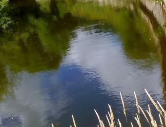
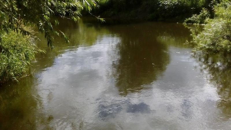
Buttington Bridge 06
Looking across river.
-
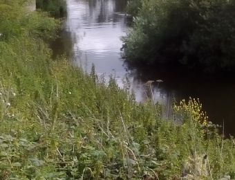
Buttington Bridge 07
Top of bank looking down stream.
-
Buttington Bridge 08
Second peg looking down stream.
-
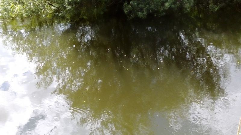
Buttington Bridge 09
Same spot looking across river.
-
Buttington Bridge 10
Same spot looking upstream.
-
Buttington Bridge 11
Second peg down looking down river.
-
Buttington Bridge 12
Lower Buttington on bend
-
Catches - Maginnis Bridge
Three fish caught by Bryan at Maginnis Bridge.
-
First ever visit
John Tooms at Maginnis Bridge on his first ever visit to the upper Severn, going home very happy. Ann Wood upper Severn bailiff
-
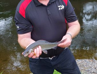
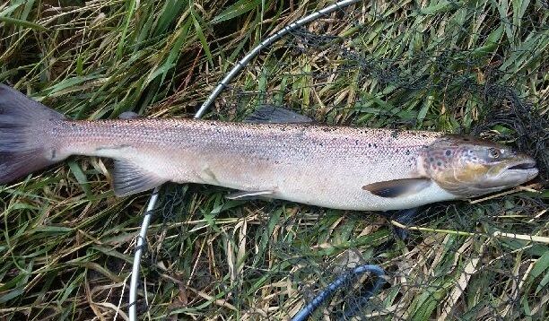
Magginnis Bridge Salmon.
Caught by Harry a top salmon angler in the BAA. Mike and Ann Wood.
-
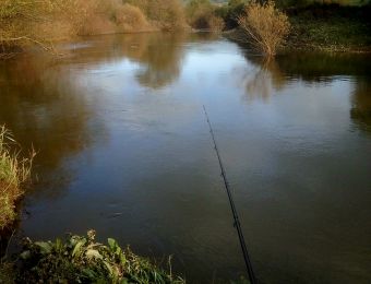
Maginnis Bridge 01
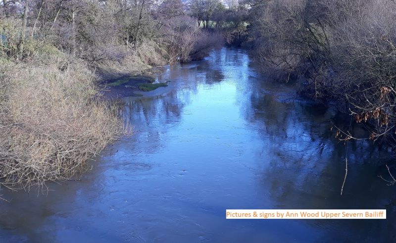
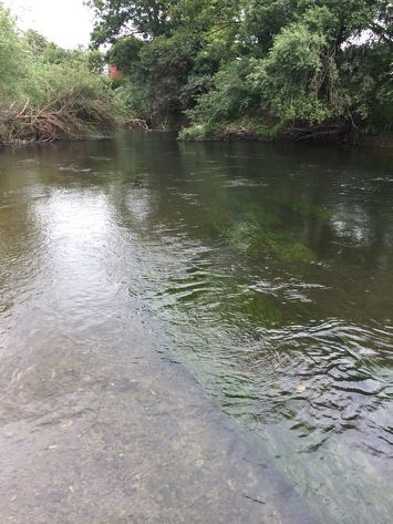
View from Maginnis Bridge downstream, good salmon and trotting water. Good access and gravelled areas to sit or stand as can be seen on the left hand side.
-
Maginnis Bridge 02
BAA access to river down side of bridge new signs fitted.
-
Maginnis Bridge 03
New signs to stile opposite church which takes you down to lower section of Maginnis Bridge.
-
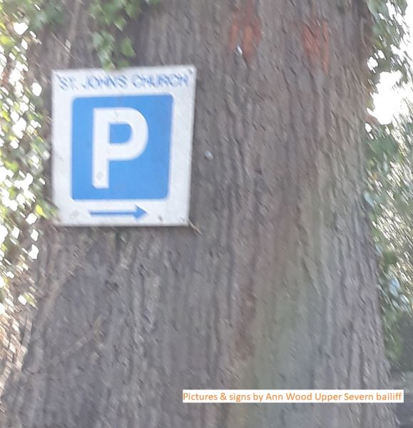
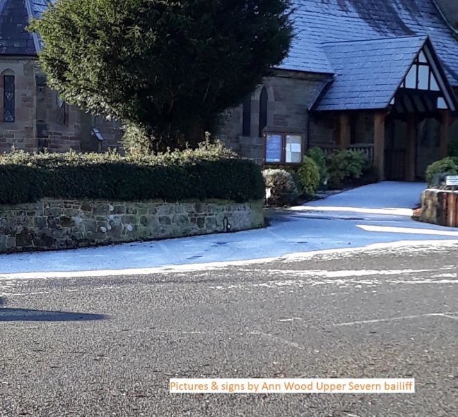
Maginnis Bridge 04
Looking on to church car park.
-
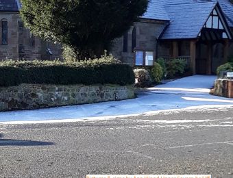
Maginnis bridge 05
Church car park.
-
Maginnis Bridge 05
-
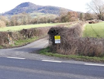
Maginnis Bridge 06
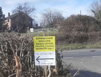
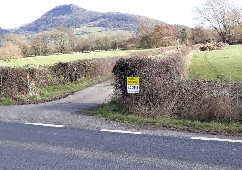
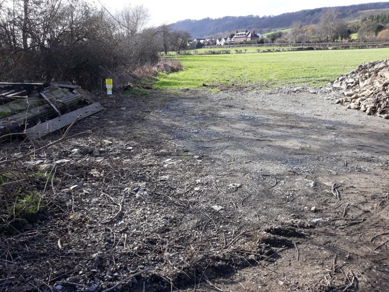
Access to Maginnis Bridge off the A483 turning right about 200 metres past Powys Arms pub. BAA members have shared access to a new car park at the end of this track near to the bridge.
-
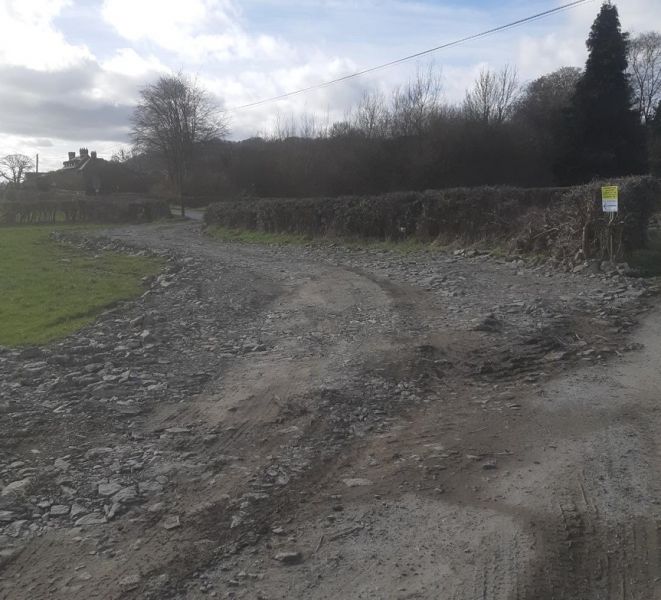
Maginnis Bridge 07
New car park by Maginnis Bridge looking back up track to road.
-
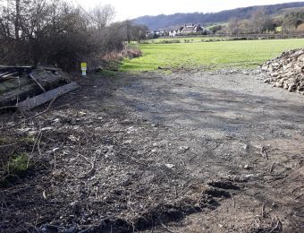
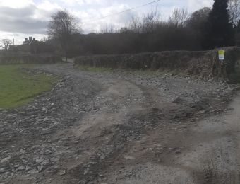
Maginnis Bridge 08
New car park under construction, BAA have parking for about 12 vehicles on the right hand side before crossing Maginnis Bridge. Prince Albert have a car park over the bridge on the left hand side. So please park in our car parking area and do not cross the bridge and park.
-
Maginnis Bridge 09
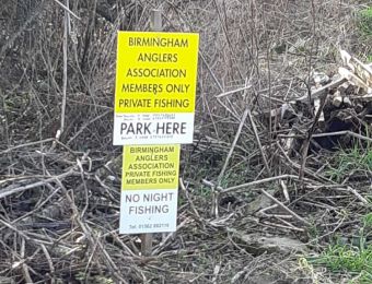
Parh here sign alongside car parking area.
-
Maginnis Bridge 10
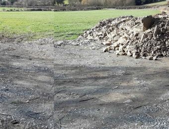
Merged pictures of right hand side of car parking area under construction.
-
Maginnis Bridge 11
-
Maginnis bridge 12
Fantastic trotting pegs.
-

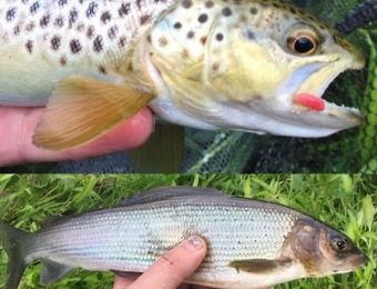
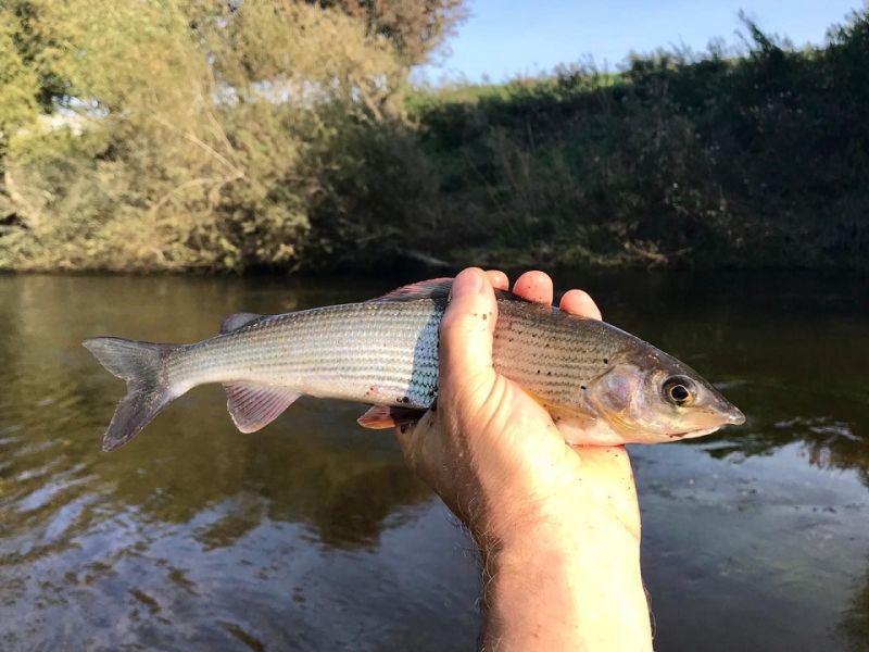
Maginnis Bridge grayling
John Tooms again happy catching grayling. Ann Wood upper Severn bailiff
-
Maginnis grayling.
Colin Doyle from the Wirral having a good days sport at Maginnis Bridge catching Grayling Chub and Dace. Kind regards Ann Wood upper Severn bailiff Powys
-
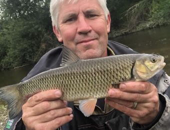
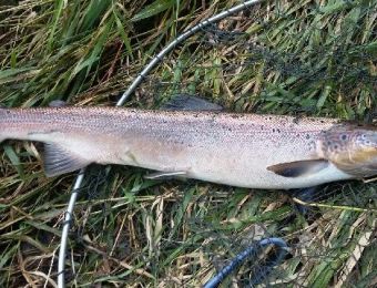
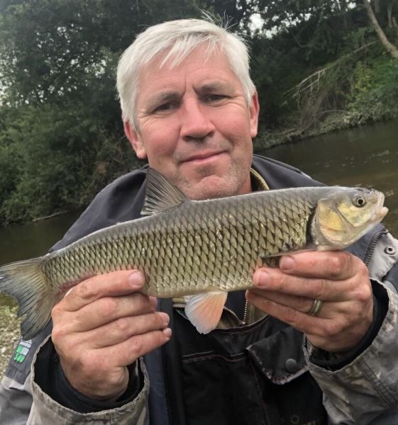
Upper Severn regular.
This is Bryan Moore a regular on the upper Severn at Maginnis Bridge having a good mixed bag of fish. Kind regards Ann Wood.


More locations on the Severn
- Aberbechan and Penarth
- Abermule
- Forden
- Pool Quay, Maesydd & Rhyddesgyn
- Underdale
- Apley Estate
- Knowle Sands
- Danery
- Eardington, Brook Section
- Quatford
- Hampton Loade Left Bank
- Hampton Loade 'B' Section
- Arley RB, LB, Harbour, Alveley, Stanley, Kinlet, Hextons Farm
- Trimpley, Northwood
- Ribbesford
- Blackstone
- Newhalls Meadow
- Ladyham
- Holt Fleet, Lock Island
- Grimley, Hallow
- Retreat Farm, Grimley
- Severn Stoke
- Bushley
- Ripple, Birds Meadow
- Deerhurst, Apperley
