Trimpley, Northwood
Severn
Description
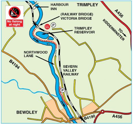
The Middle Severn at its best. In the case of Trimpley for those prepared for a long walk from the car park . Excellent barbel water, with the best pegs up towards the railway bridge on this ½ mile length. Northwood is a similar water with easier access involving a walk from the car park alongside the disused railway embankment to the river.Location (SATNAV)
Trimpley, Eymore Wood public car park
Lat 52°24'37.7"N Long 2°19'53.7"W (degs, mins, secs)
Lat 52.410474 Long -2.331589 (numerical)
Postcode DY12 1PG (nearby)
Northwood Lane BAA car park
Lat 52°23'09.3"N Long 2°19'17.8"W (degs, mins, secs)
Lat 52.385905 Long -2.321599 (numerical)
Postcode DY12 1AP (nearby)
what3words damp.milder.windmills
Approaches
Trimpley: The car park at the end of Northwood Lane is now permanently closed. Do not park in front of gates or obstruct the entrance to any adjoining property. Access to this fishery is now via the public footpath through Eymore Wood at the end of Eymore Lane using the public car park in Eymoor Wood.
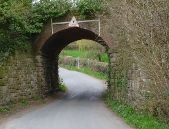
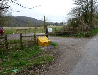
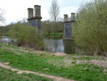
Northwood: Turn into Northwood Lane from the B4190. Travel along the Lane for about 1 mile turn immediately left after going through the tunnel under the disused railway embankment into the BAA car park (lock fitted to gate - code: See BAA Membership Card). To access the river walk along the edge of the field along the bottom of the embankment. You will arrive at the river where the disused railway bridge crosses. The fishery is one meadow upstream of the bridge and one downstream ending at the EA measuring station. Do not walk across the fields.
NO FISHING AT NIGHT.
BAA Publication Map
Google Map
Image Gallery
-
Northwood 01
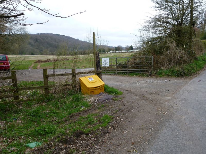
Travel along Northwood Lane under railway embankment tunnel, then turn immediate left into car park.
-
Northwood 02
Car park entrance. Please park so that farm vehicles can pass through from road to field.
-
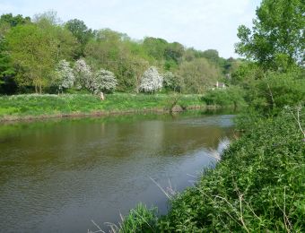
Northwood 03
Walk from car park alongside embankment to river, you arrive here at middle of fishery between upstream and downstream meadows.
-
Northwood 04
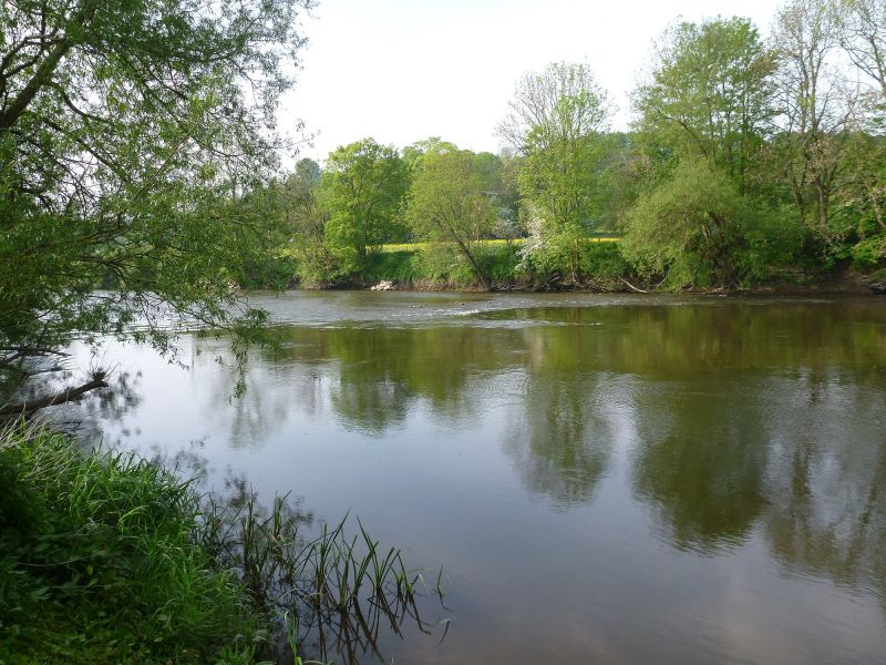
Upstream meadow looking upstream.
-
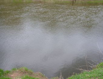
Northwood 05
Upstream meadow swim, banks are steep.
-
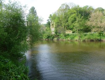
Northwood 06
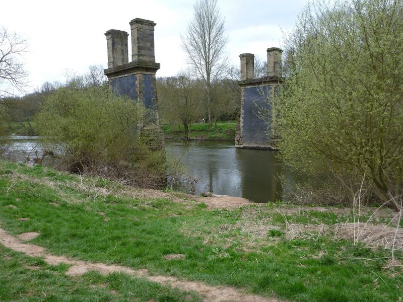
Upstream meadow just above disused railway bridge looking downstream.
-
Northwood 07
Downstream meadow just above rapids looking downstream.
-

Northwood 08
Downstream meadow top end above rapids
-

Northwood 09
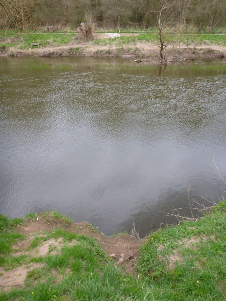
Downstream meadow, bottom end looking upstream.
-
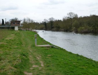
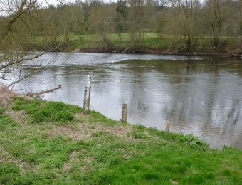
Northwood 10
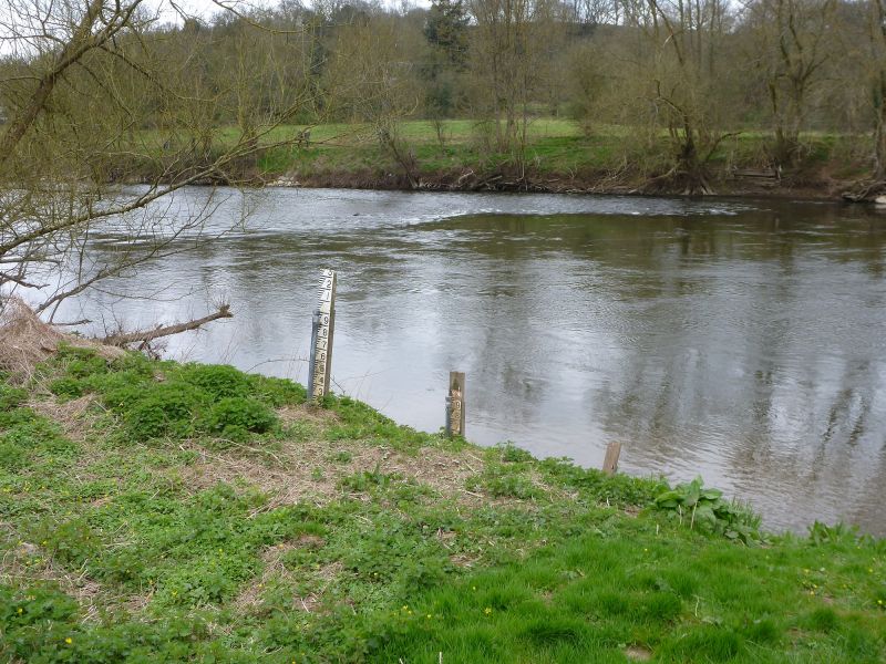
Downstream meadow looking downstream to end of fishery at fence by Environment Agency water level/flow measuring station. The EA use the data from this measuring station to decide when to release water into the Severn from the reservoirs in Wales.
-
What's caught here - March 12th 2016
Best of three from Northwood on Saturday 9lb others 8lb 9oz and 6lb 9oz. Mark
-
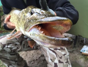
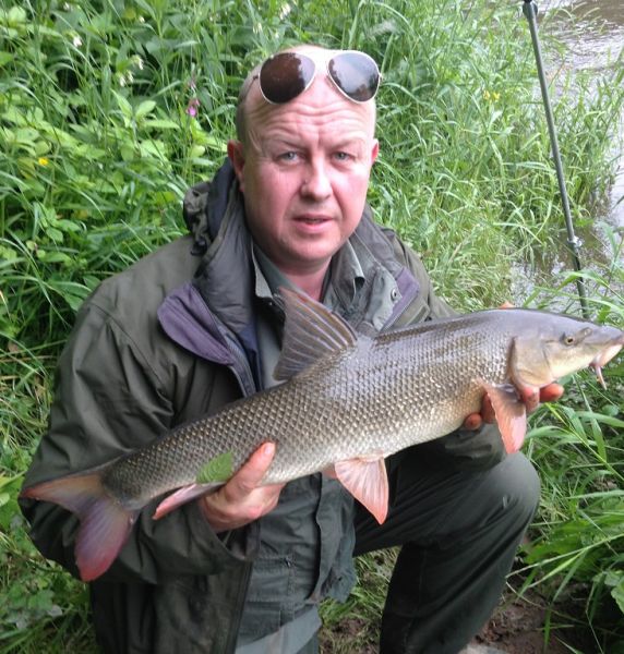
What's caught here- Northwood Lane pike 10lb 2oz Sep 2015, Bry Webber
-
Barbel for Dad
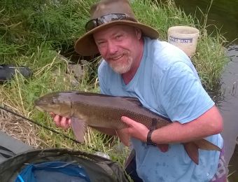
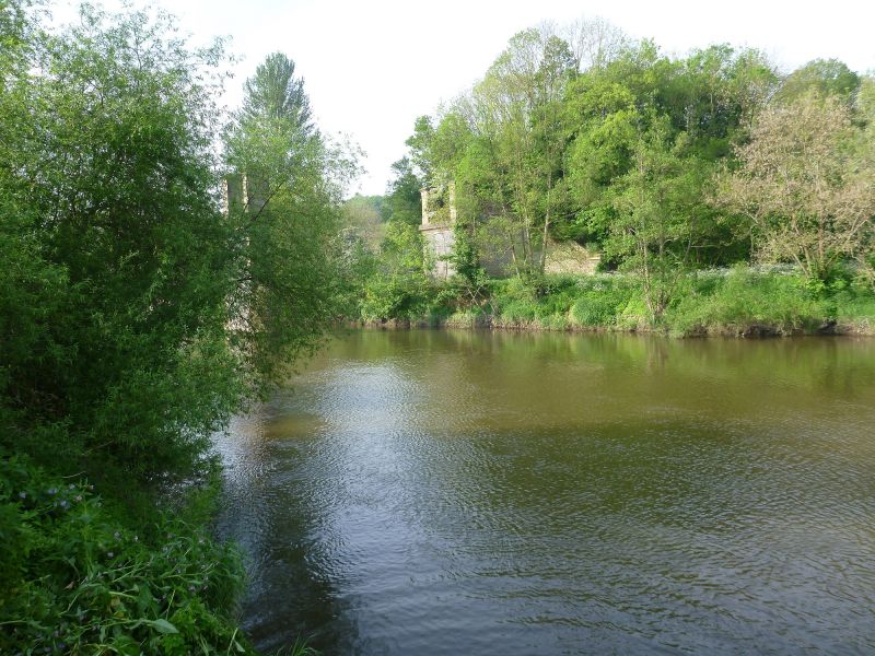
What's being caught here - Barbel from just below Victoria Bridge at Trimpley June 2016. Paul Wlche
-
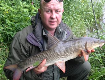
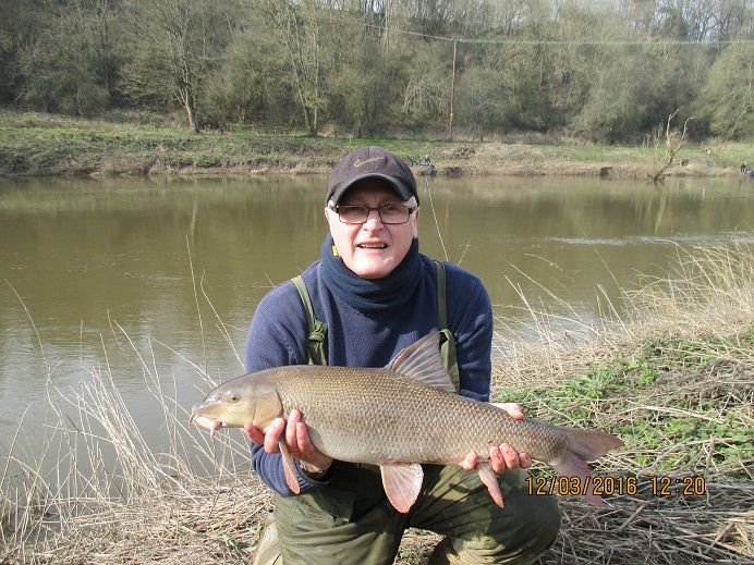
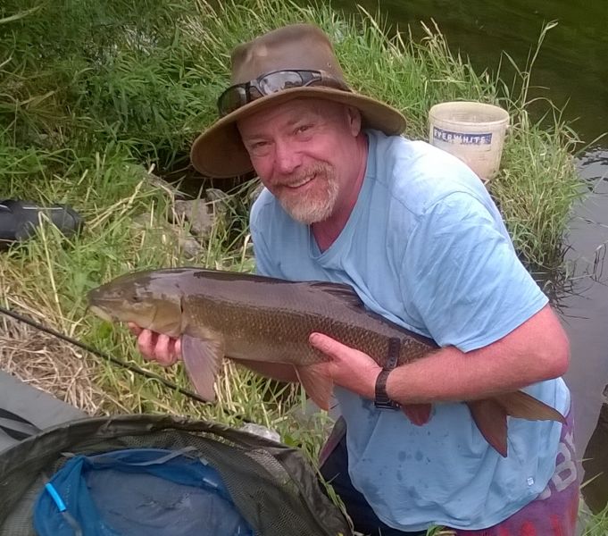
Middle Severn session.
9lb 3oz, waggler caught barbel, best of 39 caught over 6 days fishing the Trimpley and Arley stretches of the middle Severn. Most fish during the week, including chub over 4lb, a 1lb 10oz trout, and several pound-plus perch, taken on float-fished caster – by far the best way to catch barbel and chub! Mick Hanley
-
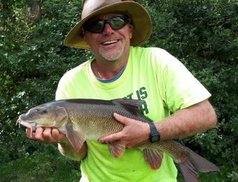
More Trimpley success
This 8lb 14oz fish was the best of a 20 barbel, 90lb-plus haul in a six hour session at Trimpley. All fish came to waggler-fished casters, and given the recent Forum comments about hook damage to fish, it’s worth noting that all fish were taken on size 16 barbless hooks, minimising likely injury without actually compromising hooked-to-landed ratio. Mick Hanley
-
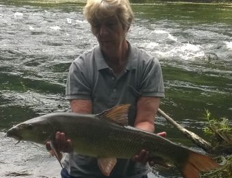
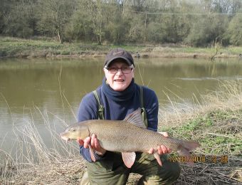
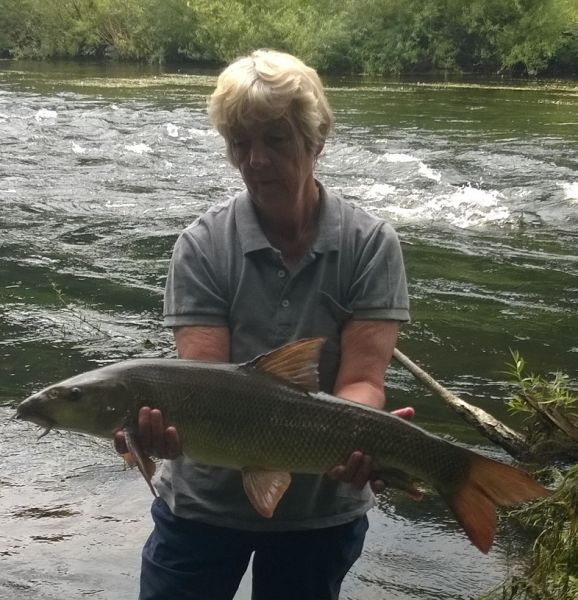
Mum's barbel
I am sending a photo of my mum Barbara Chapman's barbel she caught at Trimpley, it weighed 9lb 6.5oz which is her PB. It will be good surprise for her to see the photo on the BAA website as she looks at it every day for the catches and the forums as we have 4 trips a year to come and fish BAA stretches. Kind Regard Darren Chapman
-
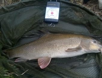
Late September barbel.
This 9lb 2oz barbel was one of eight taken on stick float fished casters during a late September afternoon session on the Severn at Trimpley. Michael Hanley.


More locations on the Severn
- Aberbechan and Penarth
- Abermule
- Forden
- Buttington Bridge
- Pool Quay, Maesydd & Rhyddesgyn
- Underdale
- Apley Estate
- Knowle Sands
- Danery
- Eardington, Brook Section
- Quatford
- Hampton Loade Left Bank
- Hampton Loade 'B' Section
- Arley RB, LB, Harbour, Alveley, Stanley, Kinlet, Hextons Farm
- Ribbesford
- Blackstone
- Newhalls Meadow
- Ladyham
- Holt Fleet, Lock Island
- Grimley, Hallow
- Retreat Farm, Grimley
- Severn Stoke
- Bushley
- Ripple, Birds Meadow
- Deerhurst, Apperley
